
 Novosibirsk
Almaz
Domodedovo
Surgut
Perm
Svobody
Kudymkar
Vologda
Krasnoyarsk
Novosibirsk
Almaz
Domodedovo
Surgut
Perm
Svobody
Kudymkar
Vologda
Krasnoyarsk
Kaliningrad on the map, Russian Federation
Where is located Kaliningrad
Exact location — Kaliningrad, gorod Kaliningrad, Kaliningrad Oblast, Russia, marked on the map with a red marker.
Coordinates
Kaliningrad, Russian Federation coordinates in decimal format: latitude — 54.716667, longitude — 20.516667. When converted to degrees, minutes, seconds Kaliningrad has the following coordinates: 54°43′0 north latitude and 20°31′0 east longitude.
Population
Kaliningrad, gorod Kaliningrad, Kaliningrad Oblast, Russia, according to our data the population is — 434,959 residents, which is about 0.3% of the total population of the country (Russian Federation).
Comparison of the population on the graph:
Exact time
Time zone for this location Kaliningrad — UTC +2 Europe/Kaliningrad. Exact time — saturday, 7 july 2024 year, 10 h. 05 minutes.
Sunrise and sunset
Kaliningrad, sunrise and sunset data for a date — saturday 13.07.2024.
| Sunrise | Sunset | Day (duration) |
|---|---|---|
| 04:24 +1 minute | 21:03 -1 minute | 16 h. 42 minutes. -2 minutes |
You can control the scale of the map using the auxiliary tools to find out exactly where it is located Kaliningrad. When you change the scale of the map, the width of the ruler also changes (in kilometers and miles).
Nearby cities
The largest cities that are located nearby:
- Elblag
 (Poland) — 95 km
 - Olsztyn (Poland) — 104 km
- Klaipėda
 (Lithuania) — 116 km
 - Gdańsk (Poland) — 127 km
- Gdynia (Poland) — 129 km
- Kaunas (Lithuania) — 216 km
- Šiauliai (Lithuania) — 219 km
- Torun (Poland) — 227 km
- Bydgoszcz (Poland) — 242 km
- Plock (Poland) — 246 km
- Bialystok (Poland) — 248 km
- Wloclawek (Poland) — 248 km
- Panevėžys (Lithuania) — 264 km
- Warsaw (Poland) — 277 km
- Koszalin (Poland) — 287 km
- Vilnius (Lithuania) — 304 km
- Rīga
 (Latvia) — 328 km
 - Łódź (Poland) — 335 km
- Poznań (Poland) — 352 km
Distance to neighboring capitals:
- Warsaw (Poland) — 279 km
- Vilnius (Lithuania) — 306 km
- Rīga (Latvia) — 334 km
- Minsk
 (Belarus) — 466 km
 - Stockholm
 (Sweden) — 533 km
 - Tallinn
 (Estonia) — 584 km
 - Mariehamn
 (Åland Islands) — 599 km
 - Prague
 (Czech Republic) — 660 km
 - Helsinki (Finland) — 662 km
- Oslo
 (Norway) — 822 km
 - Kyiv
 (Ukraine) — 825 km
 - Bucharest
 (Romania) — 1212 km
 - Tbilisi
 (Georgia) — 2287 km
 - Yerevan
 (Armenia) — 2401 km
 - Tehran
 (Iran) — 3170 km
 - Astana
 (Kazakhstan) — 3362 km
 - Khan-Uul
 (Mongolian) — 5664 km
 - Kathmandu
 (Nepal) — 5933 km
 - Beijing
 (China) — 6833 km
 - Pyongyang
 (North Korea) — 7414 km
 - Seoul
 (South Korea) — 7609 km
 - Hanoi
 (Vietnam) — 7820 km
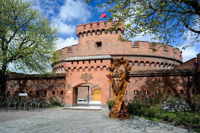
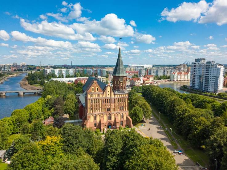
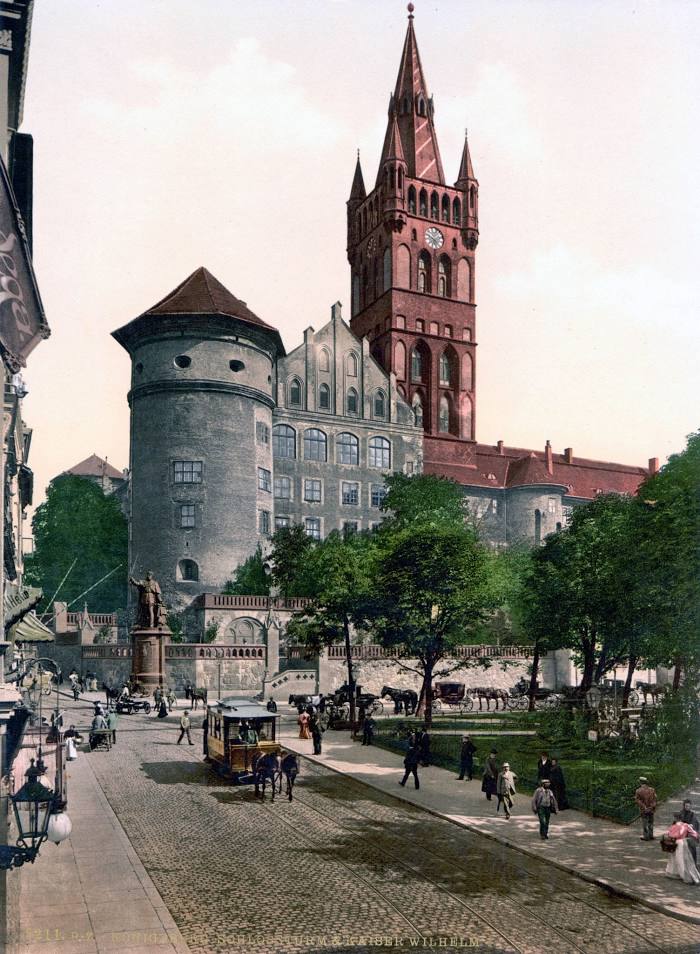
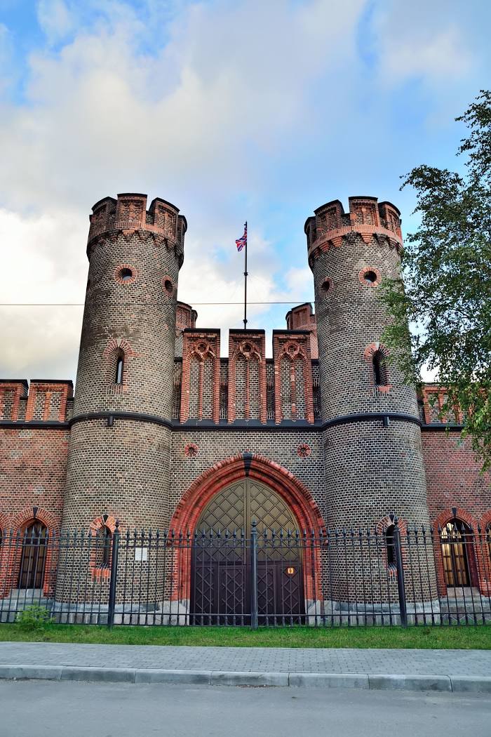
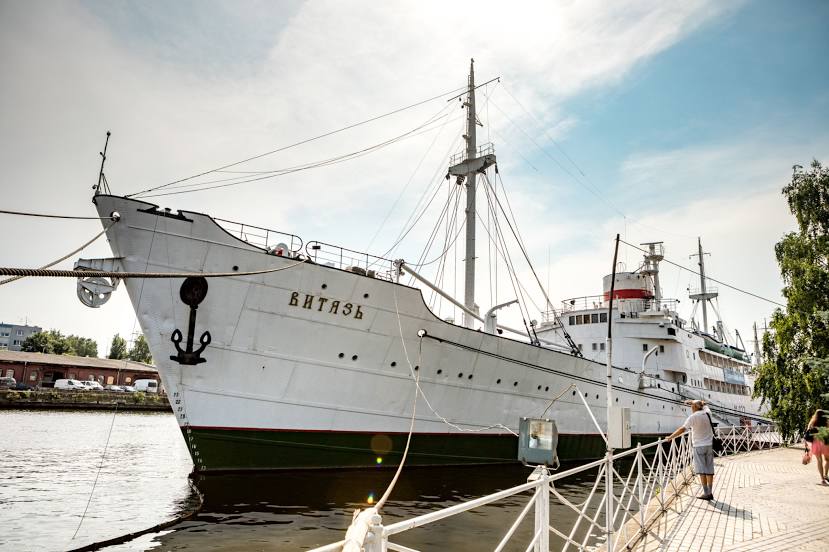
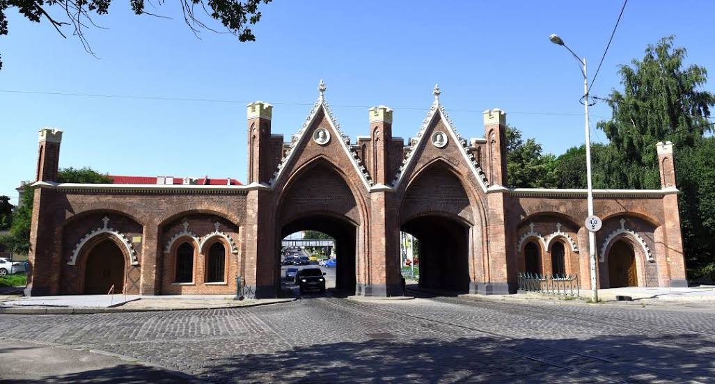
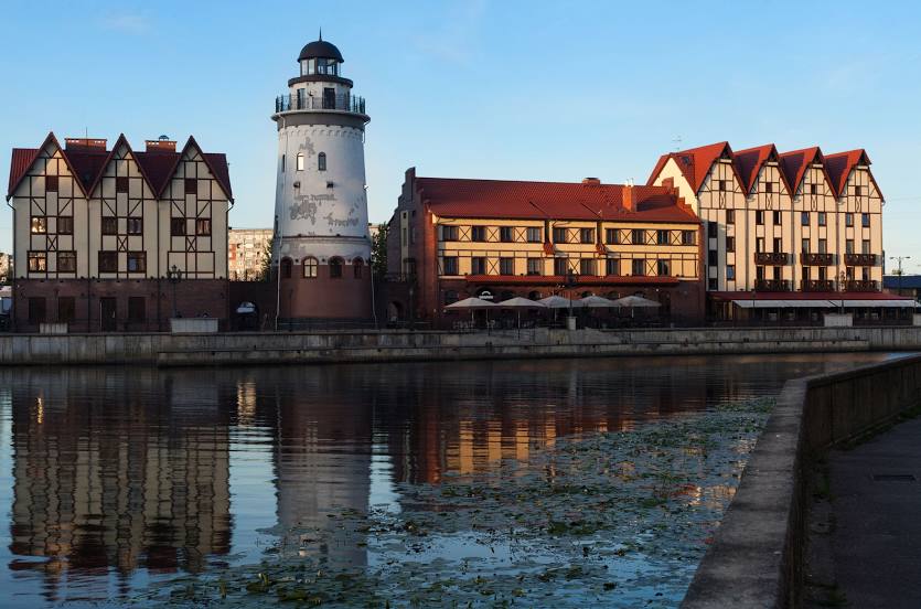
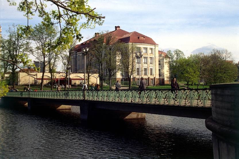
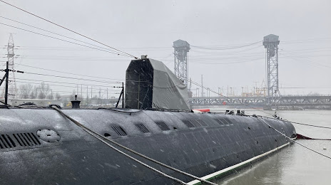
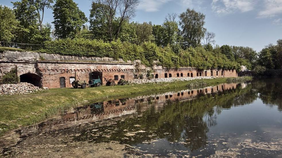
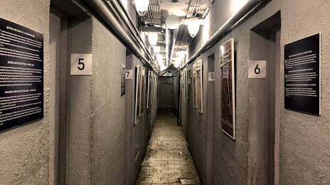
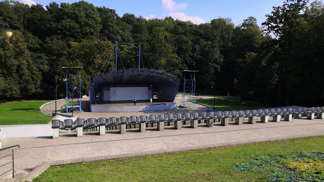
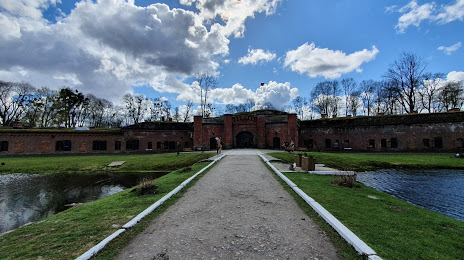
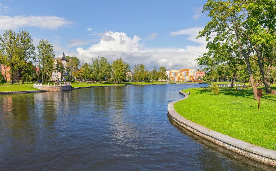
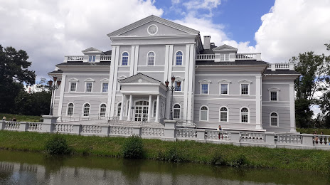
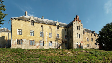
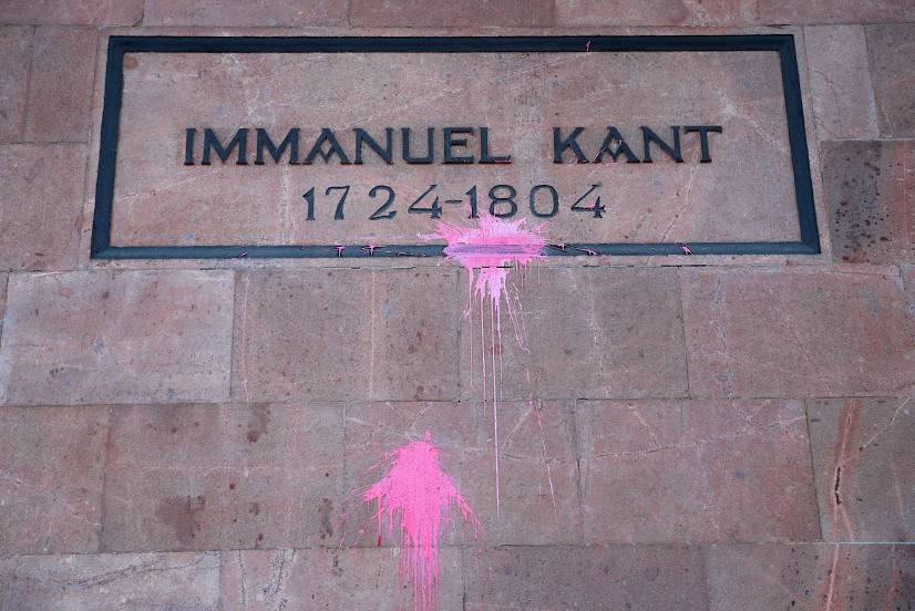
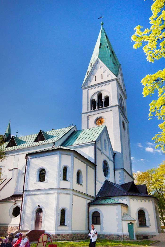
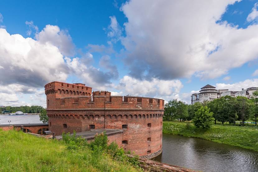
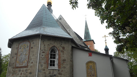
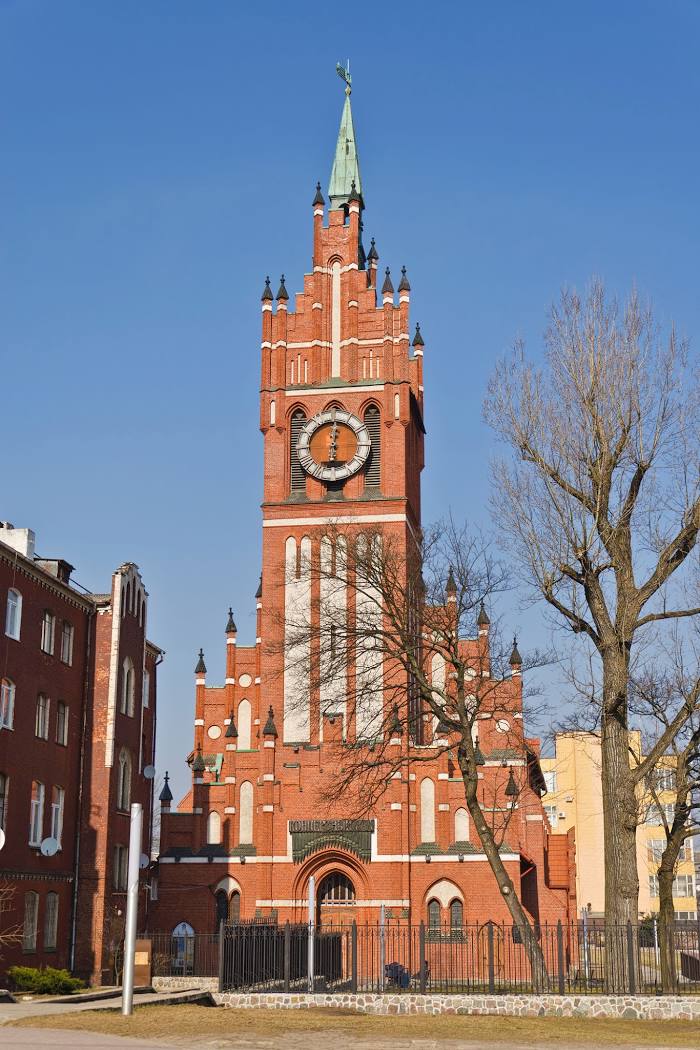
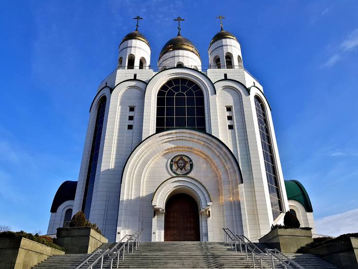
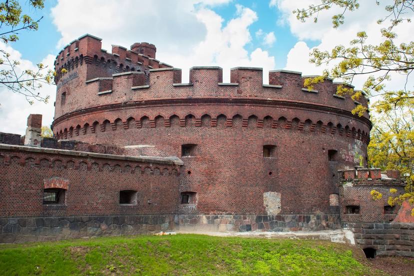
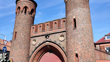
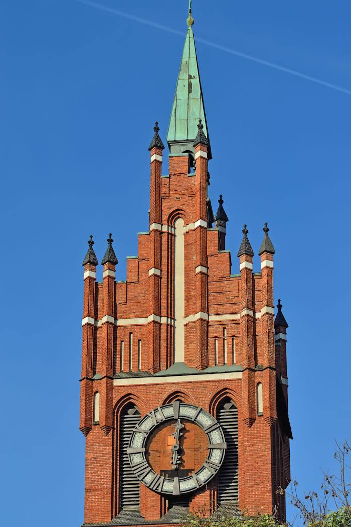
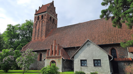
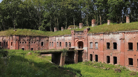
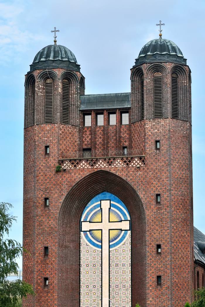
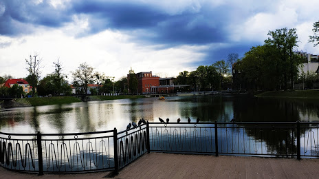
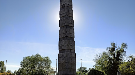
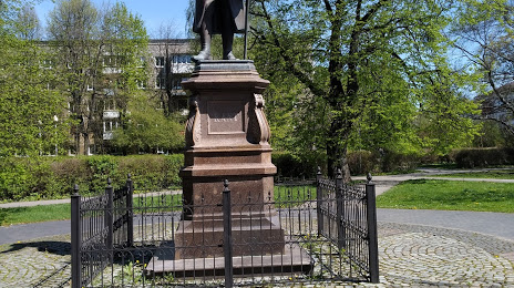
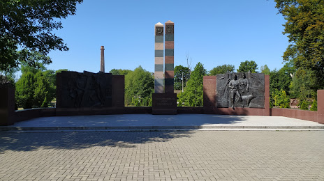
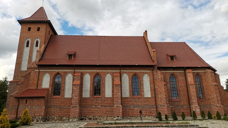
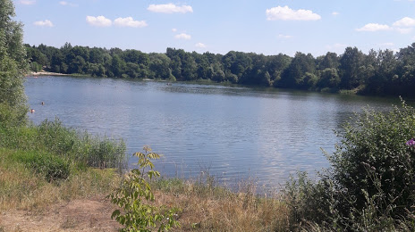
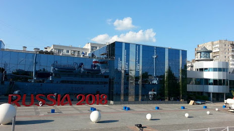
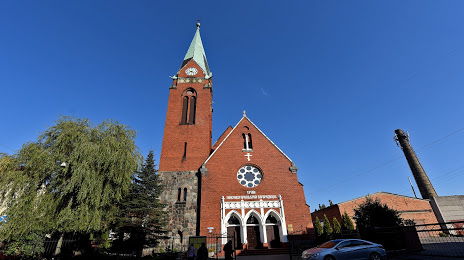
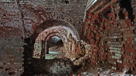
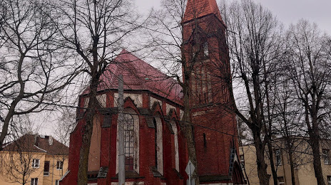
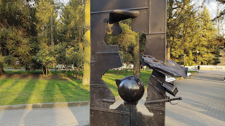
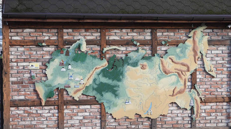
Attractions


Distance to the capital
Distance to the capital (Moscow) is about — 1088 km.